Precipitation is a vital aspect of Earth’s hydrological cycle, providing essential water resources for crops, rivers, and ecosystems. However, its dual nature poses significant challenges and risks. While rainfall can nourish agricultural lands and replenish water sources, excessive precipitation can lead to disasters such as floods and landslides, particularly in vulnerable regions. The complexities of precipitation, particularly in unique geographical areas, necessitate advanced understanding and prediction methodologies. Among such challenging regions is the Tibetan Plateau, known for its extreme altitude and diverse climatic conditions.
The Tibetan Plateau stands out as one of the most significant high-altitude areas on the planet, often referred to as the “Roof of the World.” This unique environment presents particular obstacles for researchers attempting to gather accurate precipitation data. Traditional methods of observing weather patterns, whether via ground-based sensors or satellites, can lead to misleading information in this region. One critical issue is the close proximity of the high terrain to the atmospheric freezing level, which complicates the classification of precipitation types. This misclassification can adversely affect weather forecasting, significantly impacting local communities that rely on accurate weather predictions for their agricultural activities and disaster preparedness.
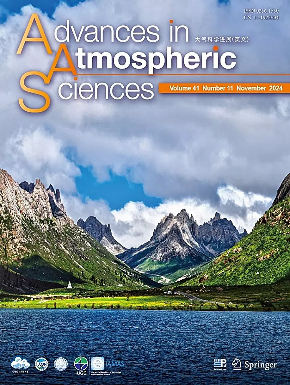
In a recent study published in *Advances in Atmospheric Sciences*, a collaborative research team led by Prof. Fu Yunfei from the University of Science and Technology of China addressed these challenges head-on. They critically examined existing algorithms used for precipitation-type identification via satellite radar technology. Their findings revealed significant limitations in these systems, particularly during summer months when the Tibetan Plateau experiences varied weather phenomena.
The traditional approach to classify precipitation usually reduces it to two types: convective and stratiform. Such a binary classification is inadequate, especially under the unique atmospheric conditions present at high altitudes. Fu’s team introduced a more nuanced algorithm that considers additional parameters, including maximum reflectivity factor, background maximum reflectivity factor, and echo top height. This new classification system allows for a more granular understanding of precipitation types, categorizing them into “strong convective,” “weak convective,” “weak,” and “other.”
The implications of this research extend far beyond academic curiosity; they have significant practical applications in meteorology and local community resilience. By employing the newly developed algorithm, meteorologists can enhance their ability to forecast various types of precipitation more accurately. This is particularly beneficial for the residents of the Tibetan Plateau, where precipitation patterns can significantly influence agricultural cycles, water availability, and susceptibility to natural disasters.
Moreover, this study emphasizes the necessity of adapting scientific methodologies to local conditions rather than relying on standardized approaches that may not fit diverse geographical contexts. As Prof. Fu noted, the diversity and intricacies of natural phenomena must be acknowledged and integrated into scientific practice to improve predictive accuracy and resource management.
While the advancements made in the study are commendable, Prof. Fu acknowledges that further research is required. One of the ongoing challenges is the accurate detection of stratiform precipitation over the Tibetan Plateau, which has proven difficult using current satellite measurements. Ongoing efforts are focused on refining the observation techniques to gain clearer insights into precipitation dynamics.
The study spearheaded by Prof. Fu and his team serves as a crucial step towards better understanding and predicting precipitation in challenging environments such as the Tibetan Plateau. By accelerating the development of tailored methodologies, meteorologists can significantly enhance weather forecasting capabilities, ultimately benefiting communities and ecosystems that are intricately tied to these vital weather patterns. The implications of this research extend globally, reminding us of the critical need for localized approaches to scientific challenges in an increasingly dynamic climate.


Leave a Reply